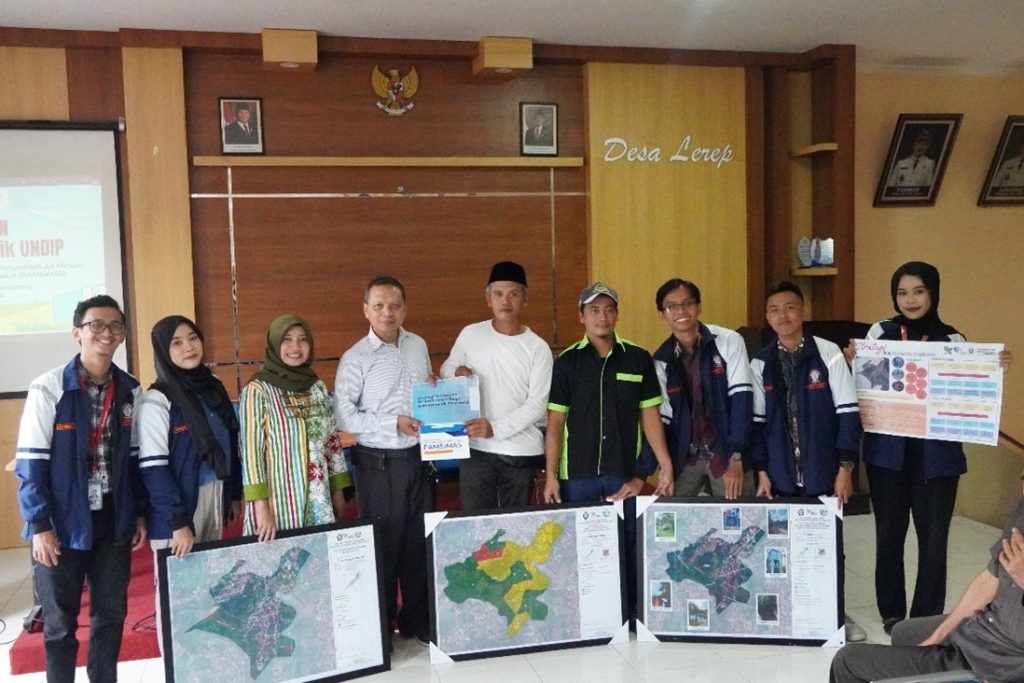
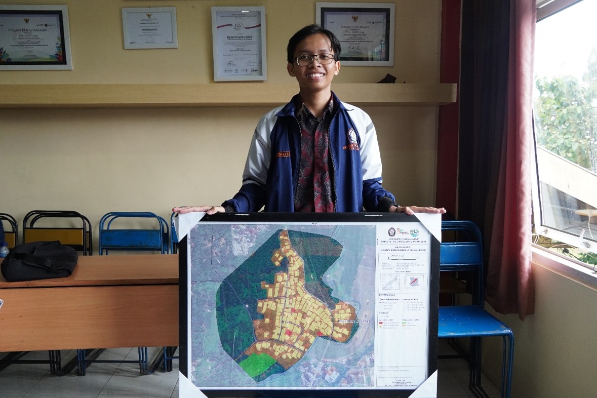
Students of the Thematic Community Service Program (KKN) of Diponegoro University (UNDIP) have realized a monodisciplinary program to create a Social Map of Karangbolo Hamlet. This map contains essential information regarding administrative boundaries, the location of the Hamlet Head’s house, road networks, religious buildings, housing buildings, and cemeteries in the area. The map-making process was carried out from October to November 2024, involving field observations and in-depth discussions with the Hamlet Head and the local community. This program is expected to assist in resource management and increase public awareness of the importance of spatial information for village development planning. In its implementation, KKN students collaborated with village officials to identify the potential problems in Karangbolo Hamlet. With the guidance of field supervisors Mr. Yuli Christiyono, ST, MT., Mrs. Yayuk Astuti, S. Si, Ph. D., and Mr. Pangi, S.T., MT, this program aims to support development based on accurate data and information. The resulting social map will be a tool for the community and village government to plan more effective development policies and programs and increase community participation in managing their area.
The Karangbolo Hamlet Social Map Program is an initiative of Diponegoro University students to increase community awareness and coordination in Karangbolo Hamlet. Although Karangbolo Hamlet is one of the integrated hamlets in Lerep Village, which consists of 8 hamlets, there are still several challenges in this hamlet’s essential physical and social management. One of the narrowest hamlets is Karangbolo Hamlet, with an area of only 4.77% of the total area of Lerep Village, indicating the need for optimization in resource and infrastructure management. As a form of contribution to the community, Diponegoro University students created a detailed social map, including information on the Administrative Boundaries of Karangbolo Hamlet, the Location of the Head of Karangbolo Hamlet’s House, Road Networks, Worship Buildings, Housing Buildings, and Cemeteries. With this map, it is hoped that the management and distribution of public facilities can be more efficient and help identify areas that require more attention regarding accessibility and community integration.

The results of interviews and field observations showed several fundamental problems related to resource management in Karangbolo Hamlet. Although the community has great potential in utilizing local resources, challenges are still faced, such as lack of access to information about existing potential and minimal data related to supporting infrastructure. To overcome this problem, Diponegoro University Thematic Community Service (KKN) students took the initiative to create a Social Map of Karangbolo Hamlet. This map was compiled based on the results of discussions with the Hamlet Head and through in-depth field observations. This map will create a better understanding of the hamlet’s social conditions and infrastructure. This Social Map has been compiled, and the Field Supervisor (DPL) has approved the results. As the next step, KKN students handed over the map product at the Karangbolo Village Hall. Mr. Amir, the Head of Karangbolo Hamlet, could not attend, so the product was handed over to the Lerep Village Office as a representative. The party gave an enthusiastic welcome and positive response to this initiative. Creating the Karangbolo Hamlet Social Map by students of the Thematic Community Service Program (KKN) of Diponegoro University is an essential step in improving the management of resources and infrastructure in the area. Through observation and discussion, this map includes vital information about administrative boundaries and public facilities. It serves as a tool to increase public awareness of the importance of spatial data in development planning.
Author: Haidar Hafizh Ali Yaasiin

