Diponegoro University continues demonstrating its commitment to community service through the Community Service Program (KKN).
On October 8, 2024, this Thematic Community Service Program (KKN) began. The theme is “Optimizing the Management of the Community-Based Drinking Water and Sanitation Provision Program (PAMSIMAS) Digitally in Lerep Village, Semarang Regency.” Diponegoro University (UNDIP) Thematic Community Service Program (KKN) students have realized various innovations with multidisciplinary and monodisciplinary approaches to support managing PAMSIMAS services in Lerep Village.
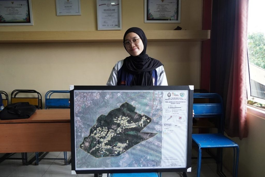
In implementing the theme, one of the members of the Lerep Village Thematic KKN team, Mindy Melya Azzedara from the Spatial Planning and Land Study Program, carried out a monodisciplinary work program in the form of Mapping the PAMSIMAS Pipe Network in Lorog Hamlet. The program was motivated by the condition of the PAMSIMAS network in Lorog Hamlet, which has not reached all Hamlet residents, so comprehensive mapping is needed to ensure even and efficient distribution of clean water for the community. The monodisciplinary program, under the guidance of the supervising lecturer, Mrs. Yayuk Astuti, S. Si, Ph. D., is a step toward supporting the implementation of PAMSIMAS management in Lorog Hamlet.
Application of Geospatial Information Systems in Hamlet Development
The government holds the PAMSIMAS Program to improve community access to clean water and sanitation. However, in Lorog Hamlet, the management of PAMSIMAS still faces several obstacles, namely the uneven distribution of the existing PAMSIMAS network. Meanwhile, Lorog Hamlet has excellent potential for optimizing clean water management, considering the availability of abundant groundwater resources. So, as a form of contribution to the community, the Thematic KKN students of Desa Lerep created the PAMSIMAS Pipe Network Mapping of Lorog Hamlet.
This program is an application of geospatial technology in village development. Using software such as ArcGIS and data from various sources, including Ina Geospatial, land plot data, road networks and water reservoir location points, and PAMSIMAS pipe network data obtained through field surveys. Interviews with the local RW head and the Head of PAMSIMAS Management, Mr. Ariyadi, were also conducted to obtain data related to PAMSIMAS management in Lorog Hamlet. The data was then processed, and a “PAMSIMAS Pipe Network Map in Lorog Hamlet” was produced.

Results of the Monodisciplinary Program
Through this Thematic KKN Program, Diponegoro University Students, together with the support of Supervising Lecturers and the village, have succeeded in mapping the PAMSIMAS Pipe Network in Lorog Hamlet by integrating the Geospatial Information System. From the results of this mapping, solutions can be created to help the community, especially the PAMSIMAS managers of Lorog Hamlet, to ensure an even and efficient distribution of clean water for the people of Lorog Hamlet.
Author: Mindy Melya Azzedara

