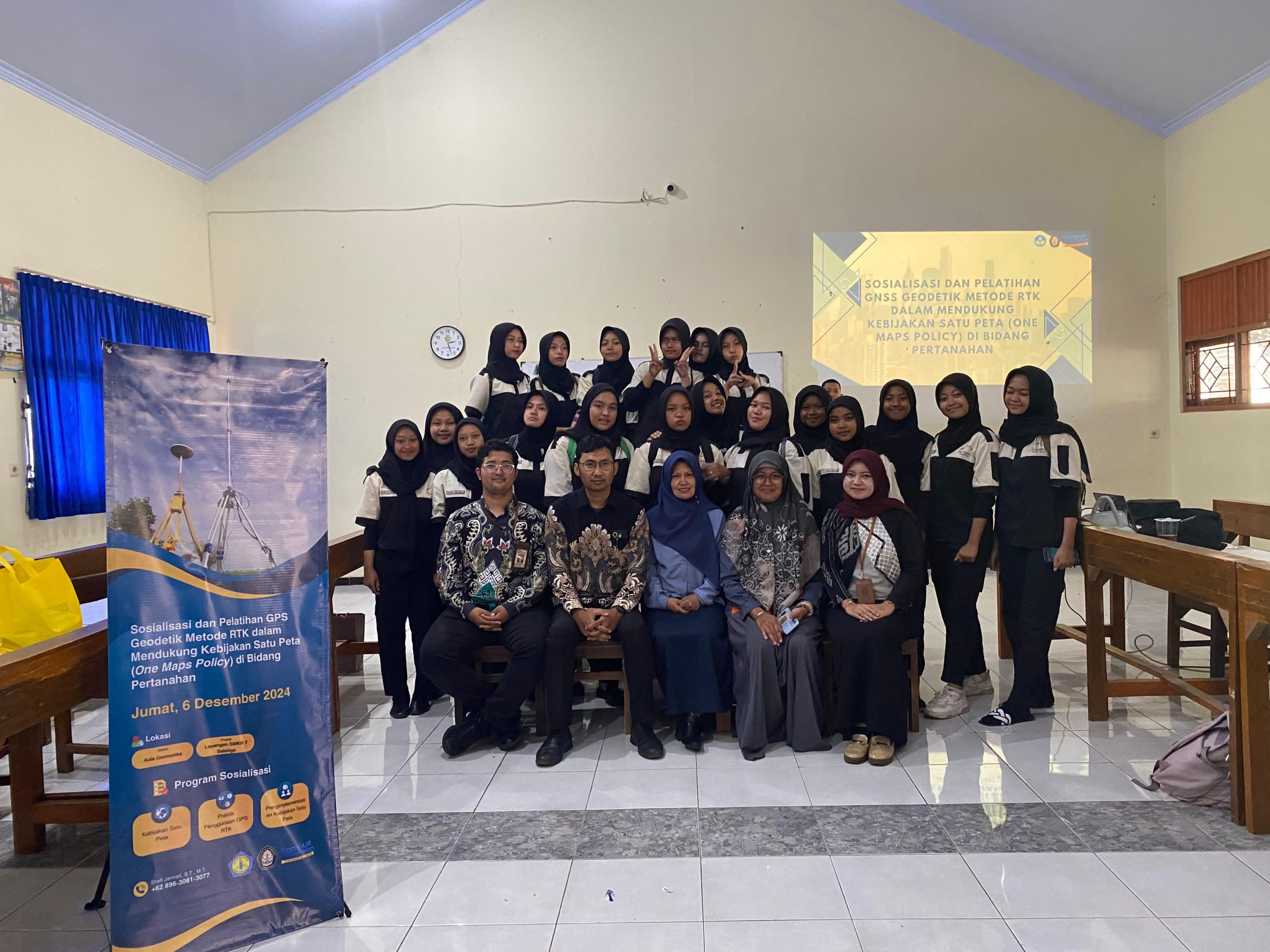
Salatiga: On December 6, 2024, a team of lecturers from the D4 Spatial Planning and Land Management Study Program, Diponegoro University (Undip), held a community service activity at SMK Negeri 3 Salatiga. This activity aims to conduct socialization and training on using Geodetic GPS with the Real-Time Kinematic (RTK) method in supporting the One Map Policy in the land sector. This activity will give students relevant insights and skills, especially in Geomatics.
The One Map Policy is one of the priority programs of the central government in implementing the Nawa Cita Program. For this reason, the government hopes that development planning, infrastructure provision, issuance of permits and land rights, and various national policies can refer to accurate spatial data. The 2013 Indonesian Geospatial Reference System (SRGI) has been implemented to support the One Map Policy by making the National Geodetic Control Network (JKGN) the primary reference. Each geodetic control point is expected to have a precise coordinate value, thus supporting data accuracy in land management.
However, socialization and training related to the One Map Policy still need to be expanded to government agencies and universities. One sector that has yet to be widely socialized is secondary education, especially in vocational schools, which major in Geomatics or Geospatial. With the increasing need for competent human resources in surveying and mapping, this activity is significant to be carried out in the educational environment.
The main objective of this community service activity is to socialize the One Map Policy, educate vocational school students majoring in Geomatics Engineering about the importance of using the National Geodetic Control Network, and train them in utilizing the National Geodetic Control Network in measurements using the Geodetic GPS RTK Method. With a good understanding of this policy, it is hoped that students can contribute to implementing and developing land policies in the future.
The methods used in this activity include lectures and discussions of materials on the One Map Policy, simulations of the use of Geodetic Control Network services, and assistance in practical measurements using the Geodetic GPS RTK Method. This approach is designed to ensure that students gain theoretical knowledge and practical skills that can be applied in the field.
In closing, the evaluation of the success of this community service will be carried out by measuring the increase in students’ knowledge and skills after participating in the activity. This activity can be an initial step to bridge the knowledge gap in the geospatial field and support the development of human resource quality in Indonesia, especially in land and spatial planning.