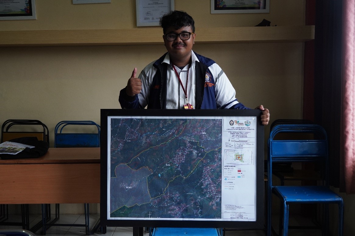
The Thematic Community Service Program (KKN) students of Diponegoro University (UNDIP) have launched an innovative program to optimize water resources through clean water mapping in Lerep Hamlet, West Ungaran District. This program aims to identify and map the area’s existing water resources and clean water distribution networks. Through field survey methods, interviews, and observations, students succeeded in collecting necessary information regarding the location of water resources, infrastructure conditions, and community needs for clean water. The map was designed using GIS (Geographic Information System) technology with the guidance of supervising lecturers Mr. Yuli Christiyono, ST, MT., Mrs. Yayuk Astuti, S. Si, Ph. D., and Mr. Pangi, ST, MT, which aims to support the digitalization era in water resource management. This map is hoped to be efficient and effective in managing clean water networks in Lerep Village, especially in Mapagan Hamlet.
Lerep Hamlet, located in Lerep Village, West Ungaran District, has a relatively diverse clean water network profile supported by several important water resource points. In this area, the community mainly relies on water sources from PDAM but also utilizes wells and the PAMSIMAS system to meet their daily clean water needs. In addition, there are several significant water resources points, such as Curug Indrokilo, which functions as a natural water source and tourist destination, and Embung Sembligo, which was built to collect rainwater and provide water reserves for agriculture during the dry season. This reservoir not only plays a role in irrigating agricultural land but has also been developed as a tourist attraction with various recreational facilities. The Lerep Hamlet community also has a local tradition known as Iriban, where they routinely clean water sources to maintain their sustainability and ensure that the water flow remains smooth. With the mapping by UNDIP Thematic KKN students, the management and distribution of water resources in Lerep Hamlet can be improved so that the community’s need for clean water can be optimally met.
The map was created after conducting interviews and discussions with the Hamlet Head so that several obstacles and problems related to clean water in Lerep Hamlet were obtained, namely:
- Several areas are prone to erosion and drought.
- Water resource pollution is due to agricultural, plantation, and domestic activities.
- There are changes in land use that encourage humans to carry out deforestation and land conversion activities that can hurt the hydrological cycle.
The interviews and field observations in Lerep Hamlet show several fundamental problems related to water resource management faced by the community, such as limited access to clean water, which is still a significant issue. Even though most of the population is connected to the PDAM system, residents still depend on wells or the PAMSIMAS system. This creates inequality in the community’s access to clean water. In addition, the lack of data and information regarding the water distribution network makes management difficult because there is no clear information regarding the condition of the existing pipes and connections. Poor infrastructure conditions, where many pipes leak and are damaged, are also a serious concern, reducing the effectiveness of water distribution to homes.
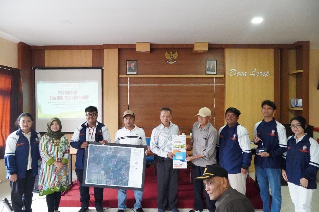
The map has been running, and the DPL has approved the latest results, so the Thematic Community Service (KKN) students of Diponegoro University handed over the product at the Lerep Village Hall, West Ungaran District, Semarang Regency, attended by Mr. Suroji Azril as the Head of Lerep Hamlet with enthusiasm and positive responses.

Implementing the Thematic Community Service (KKN) program of Diponegoro University in Lerep Hamlet has significantly contributed to efforts to optimize water resources through clean water mapping. Through field survey methods, interviews, and observations, students succeeded in identifying various problems faced by the community related to access and distribution of clean water. The mapping provides a clear picture of the condition of infrastructure and water resources. It becomes a tool for the village government to plan improvements and develop the water management system.
Author: Achmad

